GSW
Home
About
ISPRS
THE GEOSPATIAL WEEK
MBRSC
Committees
International Scientific Committee
Local Scientific Committee
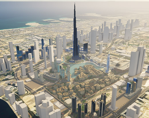
Local Organizing Committee
Call For Paper
Instructions for Authors
Paper Submissions
Program Overview
Program Overview
Workshops
Call for Tutorials
Sessions Programme
Proceedings
Keynote Speakers
Presentations
Instructions for Oral
Instructions for Poster
Travel Grants
Participate
Important Dates
Register
Submit Paper
Register Your Interest
Become Sponsor
PLAN YOUR TRIP
Travel to Dubai
Visa
Emirates Airlines
Accommodation
Travel to Venue
Cultural Tour
Humberger Toggle Menu
Workshops
W1: Smart Forests and Agriculture 2025
(SFA 2025)
Read More
W2: Intelligent Uncrewed Vehicles mapping Systems (IUVS)
Read More
W3: AI for Spatial Data Quality and Uncertainty Modeling in Spatial Analyses
Read More
W4: Remote sensing monitoring for urban environment
Read More
W5: Vision Metrology and Uncertainty Assessment
Read More
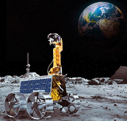
W6: Planetary Remote Sensing and Mapping (PRSM2025)
Read More
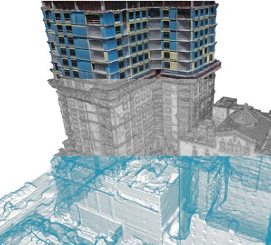
W7: Digital Construction
Read More
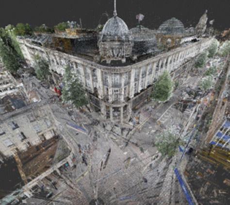
W8: Laser Scanning 2025
Read More
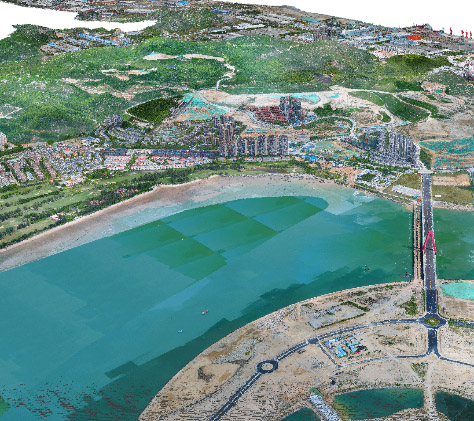
W9: 3D Sensing for Smart Cities
Read More
W10: Digital Twins and Open Source Empowered HD Maps for Smart Mobility and
Autonomy
Read More
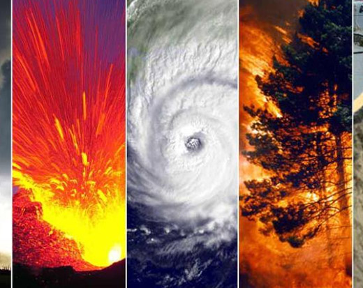
W11: Earth Observation and Geospatial
Artificial Intelligence for Disaster Risk Management
Read More
W12: Semantic Scene Analysis and 3D Reconstruction from Images and Image Sequences (Semantics3D)
Read More
W13: Applications of Open Standards, IoT, Crowdsourcing, & Intelligent Systems for Smart Cities Governance & Digital Twin Implementation
Read More
W14: Resilient High-Precision Positioning, Navigation and Guidance of Autonomous
Vehicles
Read More
W15: Climate Change and Geospatial research: advanced geospatial research for a sustainable development through International Cooperation
Read More
W16: Data Management and Data Quality for Remote Sensing Scenarios
Read More