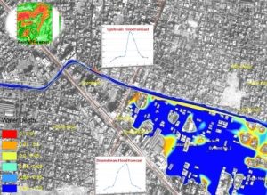
The workshop will focus on the role of international cooperation in advancing geospatial research, with particular reference to climate change on the environmental and urban contexts, smart cities.
The workshop will feature interactive sessions, group discussions, and opportunities for networking, encouraging active participation and knowledge exchange among attendees.


(TCV/WGII)
University of Bergamo, 24044 Dalmine (Bergamo), ITALY, [email protected]
Maria Grazia D’Urso is full Professor of Geomatics at the University of Bergamo, Department of Engineering and Applied Sciences (DISA). Fellow of national and international Scientific Committees; currently Chair of the WG2 Commission V/ISPRS, scientific responsible for operative units of several national research projects, of national and international workshops and reviewer for different peer-reviewed international journals. The main research interests are related to surveying and monitoring with integrated geomatic techniques; new approaches for studying the gravity and gravitational terrestrial field; applications of Photogrammetry, Laser- Scanning and Geographical Information Systems to Cultural Heritage; 3D modeling of archaeological sites; geomatic applications in risk analysis and management of emergencies; geomatic monitoring for structures; multispectral images in precision farming; fuzzy logic and its applications in environmental and urban context; digital terrain models and mapping of urban landscapes.

(TCV/WGII)
Beijing University of Civil Engineering and Architecture (BUCEA), 100129 Beijing, CHINA, [email protected]
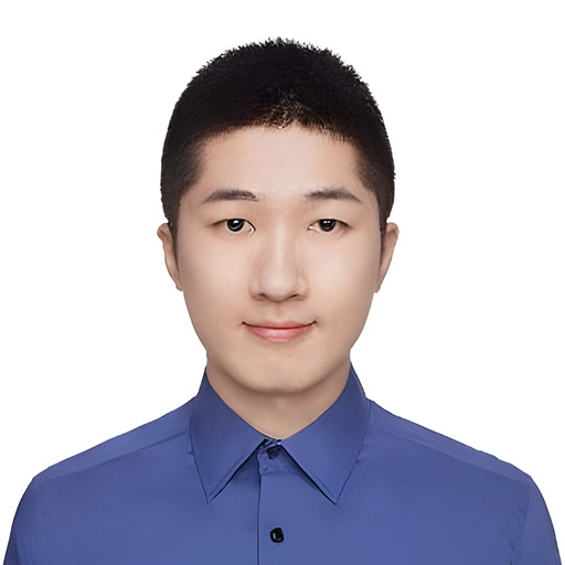
Xian GUO is lecturer at School of Geomatics and Urban Spatial Informatics, Beijing University of Civil Engineering and Architecture, Beijing, China. From 2022; he serves as a co-chair of ISPRS TCV/WGII. His research interests include urban remote sensing and digital twins modelling.