Unmanned Vehicles for infrastructural and environmental Monitoring
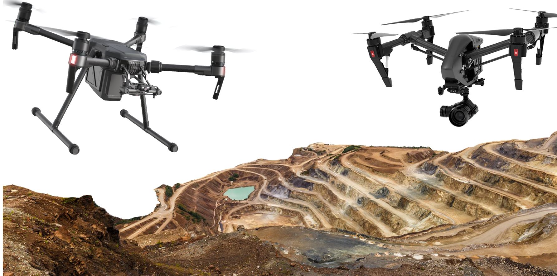
In many disciplines in the geomatics domain, unmanned vehicles are used in daily research, practice and applications. Those include aerial vehicles (UAV), but also ground based (UGV) and underwater devices (UUV). Though working in different media, for the operation of all types of vehicles some generic research questions can be raised. In this workshop we want to bring together experts from different domains, concerned with (image) data acquisition, processing and interpretation, but also sensor orientation, 3D geometry computation from one type of device, but also concerning fusion of data, eg. from UGV and UAV. Applications should be in the domain of monitoring infrastructural and environmental parameters and objects.

Chairs
 Markus Gerke, Technical University of Braunschweig, Germany |
 Francesco Nex, University of Twente, Netherlands |
THEMES OF EVENT
For this particular workshop, the theme will be focus on, but is not limited to, the following topics:
• Data acquisition from unmanned platforms
• Sensor orientation of unmanned platforms
• Sensor and data integration and fusion
• Monitoring infrastructural and environmental parameters
and objects.
• 2D and 3D real-time monitoring with unmanned platforms
• Data collection and processing strategies from unmanned platforms
• Emerging applications in smart cities and IoT
