
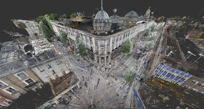
Laser Scanning
Laser scanning 2021 is the 12th of a series of ISPRS workshops covering various aspects of space borne, airborne, mobile and terrestrial laser scanning in both indoor and outdoor environments. The workshop brings together experts who focus on processing and using point cloud data acquired from laser scanners and other active 3D imaging systems, such as range cameras and gaming sensors including terrestrial, mobile, aerial, unmanned-aerial and space-borne sensing platforms. Topics include all aspects related to sensor calibration, data acquisition and data processing including notably registration, feature extraction, object detection, big data processing, 3D modelling, BIM and change analysis. The workshop will be part of the ISPRS Geospatial Week 2021 and is hosted by the Mohammed Bin Rashid Space Centre (MBRSC) in parallel with a number of related geospatial workshops.
Chairs
- Jan Boehm (WG II/3), UCL, United Kingdom
- Bisheng Yang (WG II/3), LIESMARS, Wuhan University, China
- Martin Weinmann (WG II/4), KIT, Germany
- Martin Rutzinger (WG II/10), Austrian Academy of Sciences, Austria
- Belen Riveiro (WG II/10), University of Vigo, Spain
- Wei Yao (WG III/6), Hong Kong Polytechnic University, Hong Kong
THEMES OF EVENT
Acquisition
- Laser scanners and laser scanning systems
- Range imaging and gaming sensors
- Multi-spectral LIDAR
- Solid-state LIDAR
- Ubiquitous point cloud sensing
- Bathymetric LIDAR
Point Cloud Processing
- Point cloud registration
- Segmentation
- Classification
- Feature extraction and object recognition
- Change detection
- Big Data processing
- Building Information Modelling (BIM)
System and Signal analysis
- Sensor and system calibration and validation
- Full waveform data analysis
- Single-photon sensing
- Error modelling
- Data fusion (LiDAR, RADAR, imagery)
Applications
- Thematic mapping and monitoring
- Modelling anthropogenic and natural areas
- Natural resource mapping
- Biodiversity assessment
- Precision farming
- Geohazards analysis
- Mapping and monitoring infrastructure
Scientific Committee
-
- Andreas Mayr, University of Innsbruck, Austria
- Andreas Wichmann, TU Berlin, Germany
- Antero Kukko, Finnish Geospatial Research Institute, Finland
- Bernhard Höfle, University of Heidelberg, Germany
- Boris Jutzi, Karlsruhe Institute of Technology, Germany
- Camillo Ressl, TU Vienna, Austria
- Daniel Wujanz, Technet, Germany
- David Belton, Curtin University, Australia
- David Griffiths, UCL, United Kingdom
- Derek Lichti, University of Calgary, Canada
- Dong Zhen, Wuhan University, China
- Fabio Menna, Bruno Kessler Foundation, Italy
- Fabio Remondino, Bruno Kessler Foundation, Italy
- Florent Poux, University of Liège, Belgium
- Francesco Pirotti, University of Padova, Italy
- Franz Rottensteiner, Leibniz Universität Hannover, Germany
- Gottfried Mandlburger, University of Stuttgart, Germany
- Hai Huang, Universität der Bundeswehr München, Germany
- Hans-Gerd Maas, TU Dresden, Germany
- Jinhu Wang, Delft University of Technology, The Netherlands
- Joaquín Martínez Sánchez, University of Vigo, Spain
- Konrad Schindler, ETH Zürich, Switzerland
- Kourosh Khoshelham, University of Melbourne, Australia
- Luigi Barazzetti, Politechnic University of Milan, Italy
- Marcus Hebel, Fraunhofer IOSB, Germany
- Markus Gerke, TU Braunschweig, Germany
- Martin Kada, TU Berlin, Germany
- Mat Disney, UCL, United Kingdom
- Michael Olsen, Oregon State University, USA
- Michael Weinmann, University of Bonn, Germany
- Monica Herrero-Huerta, Purdue University, USA
- Paula Litkey, Finnish Geospatial Research Institute, Finland
- Roderik Lindenbergh, TU Delft, Netherlands
- Sanna Kaasalainen, Finnish Geospatial Research Institute, Finland
- Sven Wursthorn, Karlsruhe Institute of Technology, Germany
- Thomas Zieher, Austrian Academy of Sciences
- Uwe Stilla, TU München, Germany
- Volker Wichmann, Laserdata GmbH, Austria
- Wen Xiao, Newcastle University, United Kingdom
- Xinlian Liang, Finnish Geospatial Research Institute, Finland
- Yusheng Xu, Technische Universität München, Germany