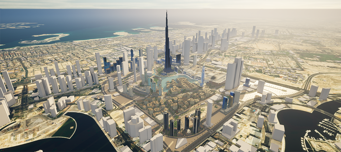
The workshop Digital Twins and Open Source Empowered HD Maps for Smart Mobility and Autonomy is the latest in the series of workshops dedicated to research and developments in the area of Digital Twin and HD maps . It aims to bring together researchers, professionals and users from the academia and industry involved in navigation, mobility and autonomy .
Digital twins are a virtual representation of a physical object. It can incorporate real-time data collected from sensors on the object and enable near real-time simulation of the behavior and monitoring of process. Digital twins allow computers to represent many real-world entities, from a single sensor in a vehicle to full installations, such as roads, vehicles and even urban environments. Digital twin technology allows you to have a better view of the performance of a sensor, identify potential risks, and make better informed planning about facilities. Thus this workshop will address the application of digital twins to navigation and mobility. On the other hand, HD maps provide detailed map information for navigating autonomous vehicles to ensure the navigation safety to protect human lives. The map itself serves as an additional “pseudo sensor” of the car and it significantly enhances the performance and accuracy of perception and positioning algorithms, which are necessary for the vehicle to drive autonomously. Among those available HD formats, certain open source formats including Lanelet 2 and Opendrive have attracted more attention and bring fruitful applications in autonomy world. Therefore, this workshop will also address the contributions of those open source empowered HD Maps and their applications for autonomy.

Papers addressing the following topics are welcomed (but not limited to): HD maps, autonomous driving, 3D data sensing and processing, seamless Indoor/outdoor/underground 3D modelling, autonomous navigation in indoor/outdoor environments, Location-based services in indoor/outdoor environments, indoor/outdoor pedestrian tracking and trajectory prediction, disaster management in indoor/underground environments, indoor/outdoor scene understanding, machine/deep learning for indoor modelling, indoor/outdoor virtual/augmented reality, indoor/outdoor mobility and assistive technologies, etc. This workshop will be part of the ISPRS Geospatial Week 2025 and will be organized by the ISPRS Working Group IV/8 and I/2, in cooperation with ISPRS WG IV/9 .
Chairs


Secretary

Co - Chairs


(WG IV/8)
Co-director of LASTIG Laboratory, University Gustave Eiffel, France

(WG IV/9)
University of Vigo, Spain