Laser scanning 2025 is the 13th of a series of ISPRS workshops covering various aspects of space-borne, airborne, mobile and terrestrial laser scanning in indoor, underground and outdoor environments. The workshop brings together experts who focus on processing and using point cloud data acquired from laser scanners and other active 3D imaging systems, such as range cameras and gaming sensors including terrestrial, mobile, aerial, unoccupied aerial and space-borne sensing platforms. Topics include all aspects related to sensor calibration, data acquisition and data processing including notably registration, feature extraction, classification, segmentation, object detection, big data processing, data fusion, 3D modelling, BIM and change analysis. The workshop will be part of the ISPRS Geospatial Week 2025 in Dubai, in parallel with several related geospatial workshops. The event will be held as a one-day single-track workshop of oral presentations and poster sessions.
Acquisition
System and Signal Analysis
Point Cloud Processing
Applications

TU Munich,
Germany
Katharina Anders studied Geography with Computer Science and Environmental Physics at Heidelberg University. She obtained her PhD in Geoinformatics at the Institute of Geography and the Interdisciplinary Centre for Scientific Computing at Heidelberg University. In 2023, Prof. Anders was appointed to the professorship for Remote Sensing Applications at TUM.

University College London, UK
(WG II/2)
Jan Boehm is Professor of Photogrammetry and 3D Imaging at University College London. His research focuses on 3D data acquisition and 3D data processing, including scene understanding. He is an expert in photogrammetry and LIDAR and related 3D capture technologies.
Bisheng Yang is the director of LIESMARS at Wuhan University and Professor in Laser Scanning and Photogrammetry. His research interests include Laser scanning and UAV photogrammetry; Semantic parsing and modeling of point clouds; Three-dimensional geographic information acquisition and analysis; Intelligent location based services.
Martin Weinmann is a Postdoctoral Researcher at the Institute of Photogrammetry and Remote Sensing at the Karlsruhe Institute of Technology. His research interests include computer vision, pattern recognition, machine learning, photogrammetry and remote sensing.
ETH Zürich,
Switzerland
Tomislav Medic is an ETH Zurich Postdoctoral Fellow working at the Institute of Geodesy and Photogrammetry. He studied Geodesy and Geoinformation in Zagreb, Croatia, and obtained his PhD at the Institute of Geodesy and Geoinformation at the University of Bonn, Germany. His research interests include laser scanning, structural health and geo- monitoring using point clouds.

Ahmad Baik is Associate Professor at King Abdulaziz University in Jeddah, Saudi Arabia. His research focuses on advancing laser scanning technologies for environmental monitoring, urban planning, and cultural heritage preservation and 3D laser scanning to enhance the Building Information modelling (BIM) technique.
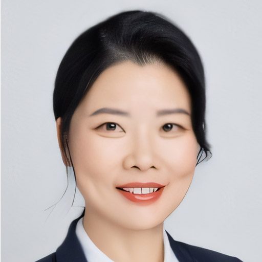
Nanjing University of Information Science & Technology, China
(Supporter of WG I/4)
Prof. Haiyan Guan is a Professor at the School of Remote Sensing and Geomatics Engineering, Nanjing University of Information Science and Technology, China. Her research interests include Laser scanning and UAV photogrammetry; Semantic parsing and modeling of point clouds; Intelligent services in transportation infrastructure inventory and forestry mapping.
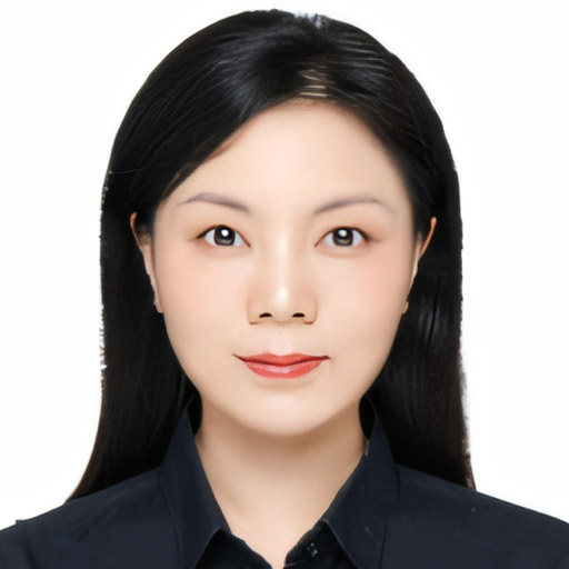
Sun Yat-sen University,
China
(WG I/4)
Yiping Chen is an Associate Professor in Geospatial, Engineering and Science at Sun Yat-sen University. Her research interests include 3D point cloud processing; Laser scanning and Semantic parsing and modeling of point clouds; Remote sensing image geographic information acquisition and analysis; Intelligent services.