GSW

W12: Semantic Scene Analysis and 3D Reconstruction from Images and Image Sequences (Semantics3D)

Workshop Overview

Automated 3D reconstruction and the extraction of semantic information from images and image sequences are important research topics in Photogrammetry, Remote Sensing, GIS, and Computer Vision. This workshop is a follow-up to the Semantics3D (2019 and 2023) and Photogrammetric 3D Reconstruction for Geo-Applications (PhotoGA) (2023) events that were embedded in the ISPRS Geospatial Weeks. It will bring together experts working in photogrammetric 3D reconstruction, semantic interpretation of imagery and image sequence analysis in both academia and industry to discuss recent developments, the potential of various data sources, and future trends in 3D reconstruction and information extraction from imagery acquired from terrestrial, drone, airborne and spaceborne platforms, as well as the geo-applications of these methods. Its focus is on methodological research

Workshop Theme

  • Novel approaches to image and sensor orientation
  • Orientation of unconventional images such as oblique images, images from cameras with rolling shutter, RGBD images, crowd-sourced images, historical images, and thermal infrared images
  • Multimodal image matching for alignment, registration and fusion of multi-source imagery
  • Feature extraction, stereo/multi-view sparse matching, dense image matching
  • Neural Radiance Fields for 3D scene reconstruction
  • 3D data acquisition and surface reconstruction
  • Automatic detection and 3D reconstruction of objects using data from terrestrial, airborne or satellite sensors
  • Deep learning and other supervised methods for 3D reconstruction and semantic interpretation of 3D scenes based on images, point clouds, or surface meshes
  • Multi-source, multi-view, multi-temporal, multi-modal image analysis: Integration of data from multiple viewpoints or multiple sensors for automated object detection and 3D reconstruction
  • Integration of existing interpreted data such as historical maps or urban GIS for object detection and reconstruction
  • Uncertainty estimation and uncertainty propagation in 3D reconstruction and classification
  • Methods for the generation and update of high-resolution 3D city models and road databases
  • Object detection, recognition, 3D reconstruction and tracking in the context of robotics or autonomous driving and mobile mapping
  • Dynamic scene understanding
  • Change detection in image time series and 3D point clouds
  • Video analysis for security/surveillance tasks
  • Explainable machine learning for geospatial applications
  • Methods to overcome data biases, limited labels, and weak labels
  • Evaluation of performance, speed, reliability, robustness, and generalization ability of methods.

Workshop Organizers

Chairs

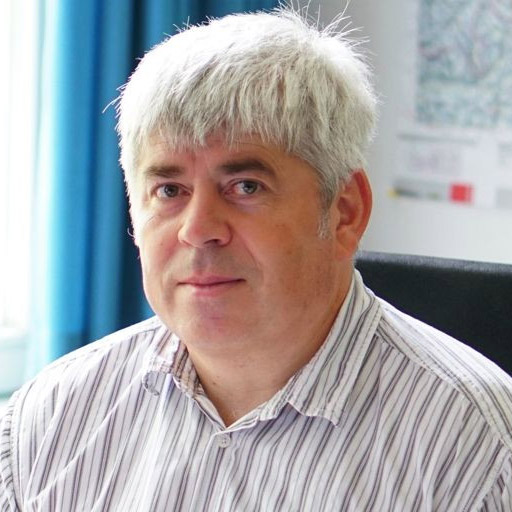
Franz Rottensteiner

Institute for Photogrammetry and GeoInformation, Leibniz Universität Hannover, Nienburger Str. 1, 30167 Hannover,
Germany
+49-511-762-3893 [email protected]

Franz Rottensteiner received a Dipl.-Ing. degree in surveying, a Ph.D. degree and a venia docendi in Photogrammetry from Vienna University of Technology, Austria (TUW). After working as a postdoctoral researcher at TUW and the Universities of New South Wales and Melbourne, Australia, he joined the Institute of Photogrammetry and GeoInformation at the University of Hannover, Germany, where he is an Associate Professor and leader of the research group “Photogrammetric Image Analysis”. His research interests include all aspects of image orientation, classification, automated object detection and reconstruction from images and point clouds, and change detection from remote sensing data.
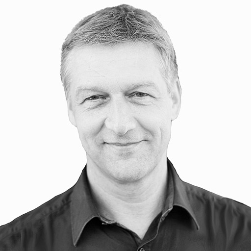
Norbert Haala

Institute for Photogrammetry and Geoinformatics, University of Stuttgart, Geschwister-Scholl-Str. 24D, 70174 Stuttgart,
Germany,
+49-711-685- 83383, [email protected]

Norbert Haala is Professor at the Institute for Photogrammetry, University of Stuttgart, where he is responsible for research and teaching in photogrammetric computer vision and image processing. In addition to the evaluation and automatic interpretation of LiDAR data, both from airborne and terrestrial platforms, his main interests cover automatic approaches for image based generation of high quality 3D data. Norbert is winner of the Carl Pulfrich Award in 2013 honoring his impacts to further develop photogrammetric restitutions, in particular in the areas of 3D City Modelling, Dense Image Matching and the use of UAVs.