This joint workshop aims to explore earth observations and integrate Geospatial Artificial Intelligence (GeoAI) theories, methods and applications for effective disaster management, emphasizing the utilization of GeoAI dealing with drone and satellite images, as well as LiDAR point clouds. The combined scope classified in three categories.
(1) General theories
(2) Technical methods
(3) Practical applications
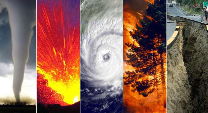
This combined scope provides a comprehensive framework for participants from diverse backgrounds to engage in discussions, share knowledge, and collaborate on innovative solutions in the field of GeoAI and disaster management. The workshops aim to foster a holistic approach to addressing challenges and enhancing resilience through the integration of cutting-edge technologies and methodologies.
Chairs


Professor & Associate Dean, the Institute of AI, Shaoxing University, China, University of Waterloo, Canada, Chair of the ISPRS ICWG III/IVa, UN-GGIM AN Advisory Board and Expert,
[email protected];
Secretary
Co - Chairs

Computational Methods Lab, HafenCity University Hamburg,Germany,
[email protected];<br>[email protected]